MENU

Sera Lake in Akçaabat How a Landslide Shaped the Valley
Sera Lake in Akçaabat How a Landslide Shaped the Valley

Where is Sera Lake?

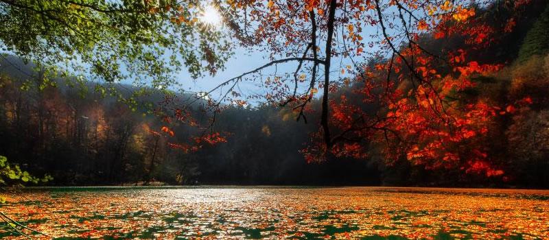
West of Trabzon, the Sera stream runs through a valley inland from Yıldızlı in the district of Akçaabat. Follow the valley away from the Black Sea coast and the view changes from open sea to a narrow stretch of water between steep slopes. Look up “Sera Gölü Tabiat Parkı” near Yıldızlı when placing the lake on your itinerary.

How did the lake form?

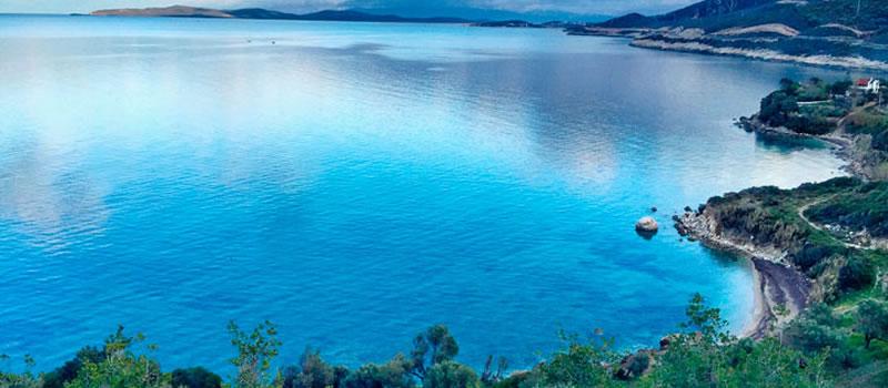
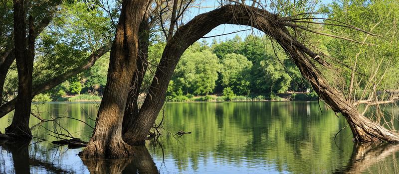
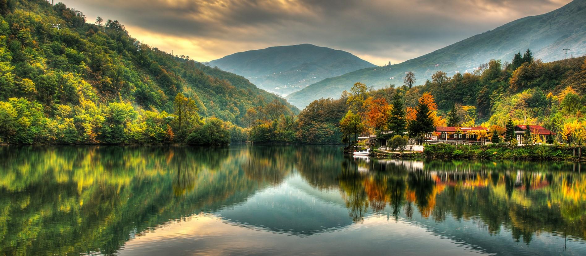
In 1950 a landslide sent earth and rock into the valley, forming a natural barrier across the stream. Water collected behind it. From the shore, the long outline of the lake still traces the former stream valley. The Sera continues to feed the lake, carrying water and sediment from upstream. Managing that sediment is part of the work to protect the lake today.

What can you see from the shore?

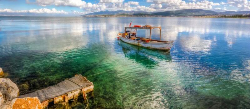
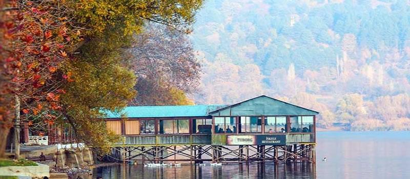
The nature park is a place for a daytime walk or a break on the way through Akçaabat. For a view that shows how the lake formed, look along its length and include the slopes on either side. To watch waterbirds, stand quietly back from the vegetation at the water’s edge. Keeping to the visitor paths helps protect the very shoreline you came to see.